Operational Missions & Aerial Documentation
The Mission Gallery highlights examples of aerial imagery and operational drone support provided by Palmetto Aerial Response. These missions demonstrate how aerial intelligence can support disaster response, property assessment, construction documentation, and situational awareness in the field.
Drone technology allows teams to quickly capture high-resolution aerial imagery that provides a clear overview of conditions, helping clients understand environments and make informed decisions.
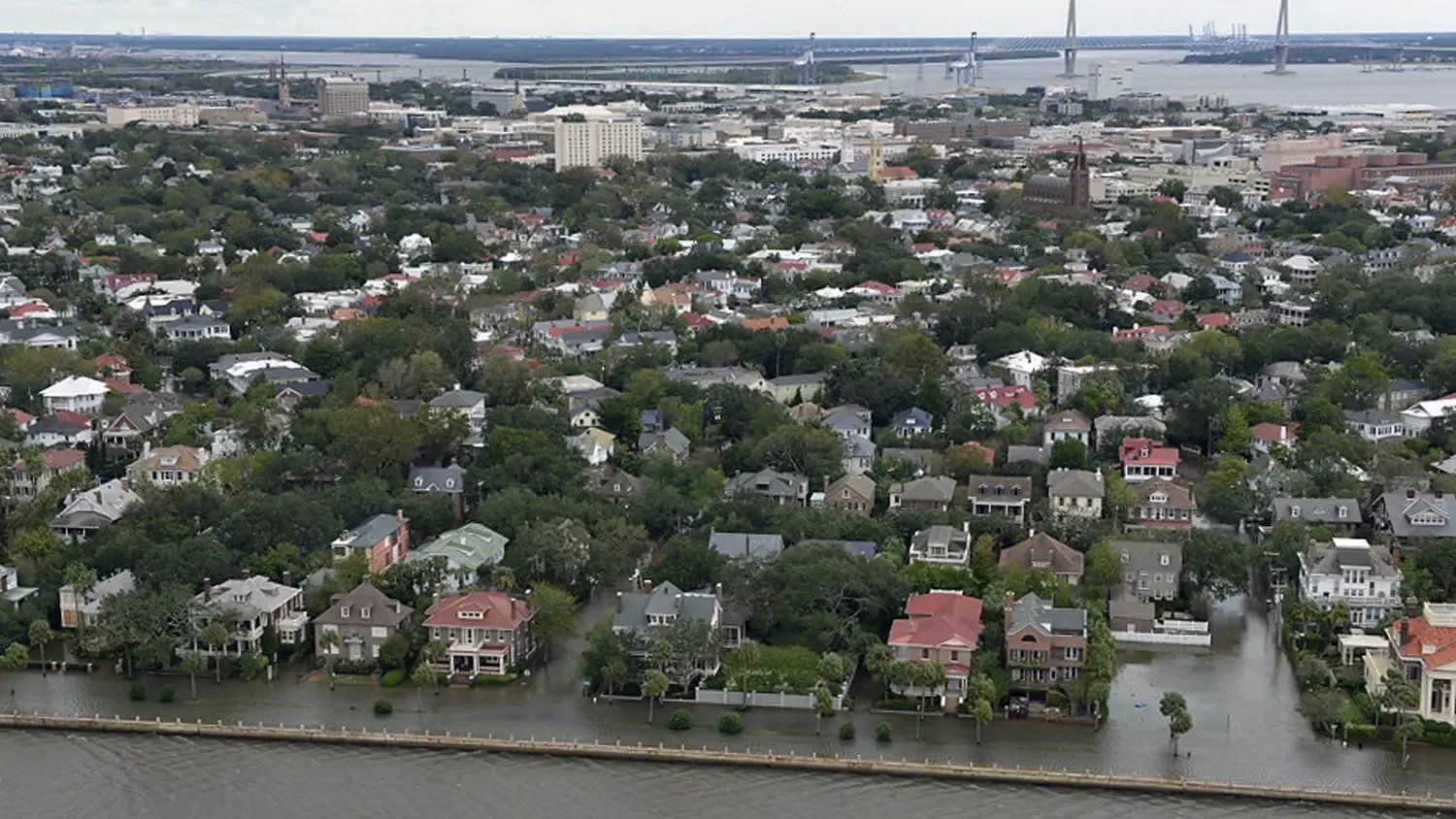
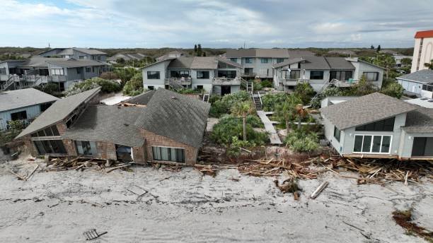
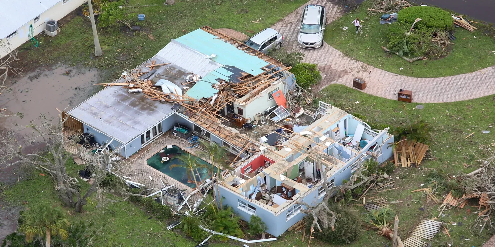
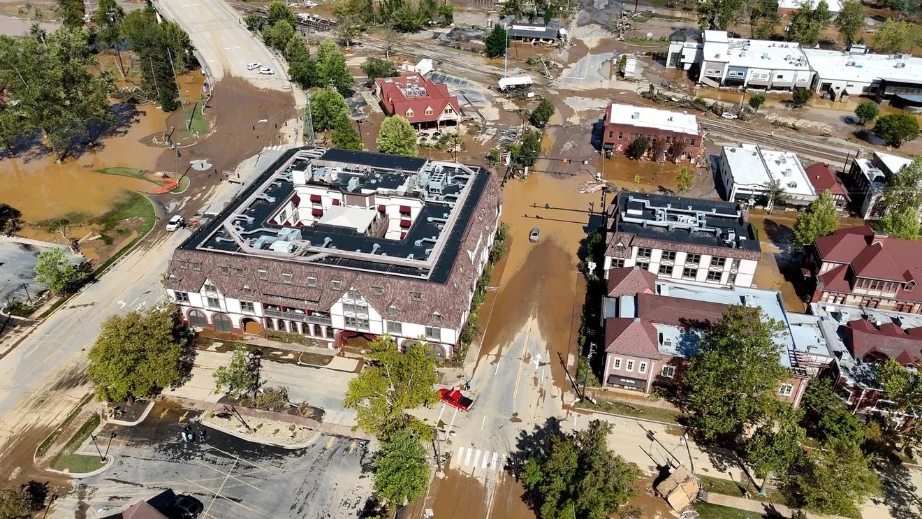
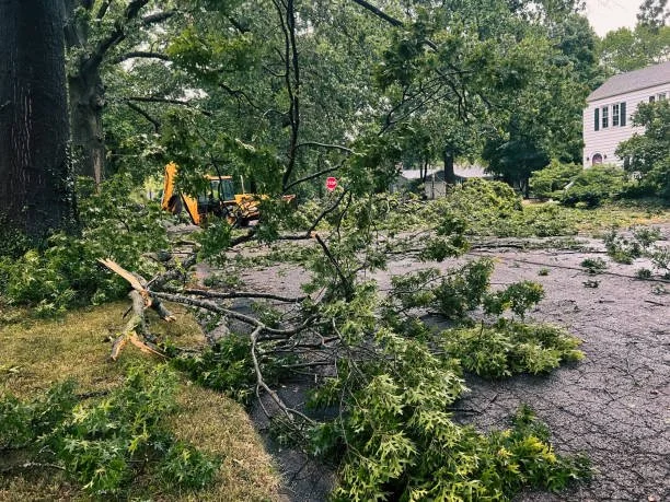
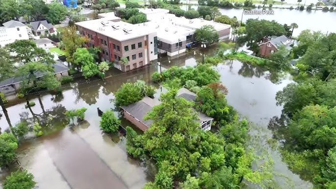
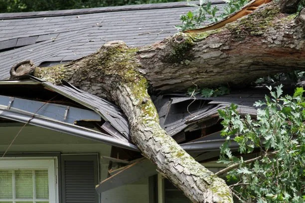
Storm Damage Documentation
Following severe storms or high-impact weather events, drone imagery can provide a rapid overview of affected areas. Aerial documentation helps identify damage, assess property conditions, and provide visual context for contractors, insurers, and property stakeholders.
Typical missions include:
• Storm damage surveys
• Roof damage imagery
• Flood impact documentation
• Property overview photography
Construction & Infrastructure Projects
Drone imagery provides a valuable perspective for construction teams and project managers. Aerial views allow stakeholders to monitor progress, document site conditions, and maintain visual records throughout the lifecycle of a project.
Typical missions include:
• Construction progress documentation
• Site overview imagery
• Infrastructure inspections
• Development project updates
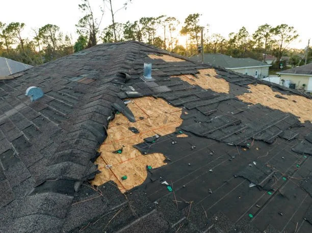
Property & Site Assessments
Drone imagery can assist property owners, contractors, and inspectors by providing a clear aerial view of buildings and land areas. These missions help document site conditions and support project planning.
Typical missions include:
• Property overview imagery
• Roof condition documentation
• Land and site photography
• Inspection imagery